 AMI-16149AMI-16149
 1
1
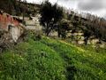
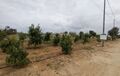
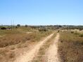
 REF AV-PBI-7494.690m²
 1
1


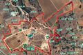
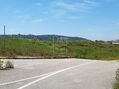
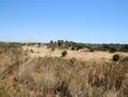
 REF AV-PBI-916115.360m²Sale
 0REF AV-PBI-BIP-1188.200m²Sale
 0
0


 0
0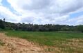
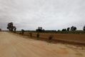
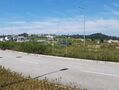
 REF AV-PBI-1190100.000m²Sale
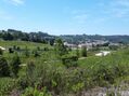 0
0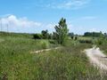
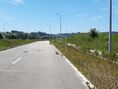 REF AV-PBI-1253151.950m²Sale
 0
0


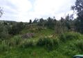
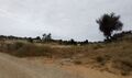
 REF AV-PBI-131231.120m²
 0
0
 REF AV-PBI-CG1264218.000m²Sale
 0
0

 REF AV-PBI-BC12511.056.878m²Sale
 0
0
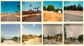

 REF AV-PBI-1228371.435m²Sale
 3 bedroom Apartment